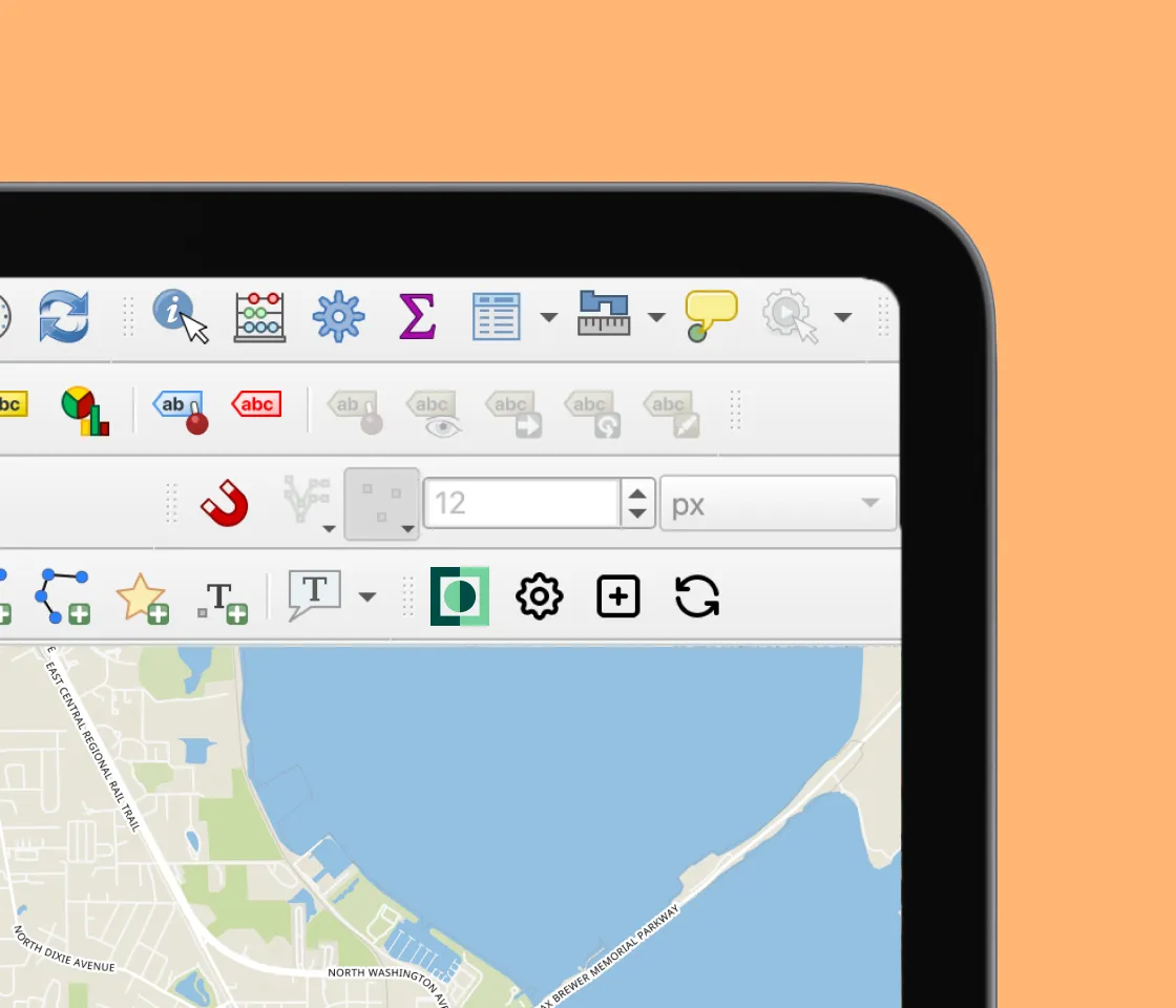
Who knew it'd be straightforward? Collaborate safely with others on the same geodata. See colleagues' updates innear real time, even from the field. Works offline.
Edits are merged automatically. View and edit geodatain the field. Integrate with existing GIS infrastructure using open formats.
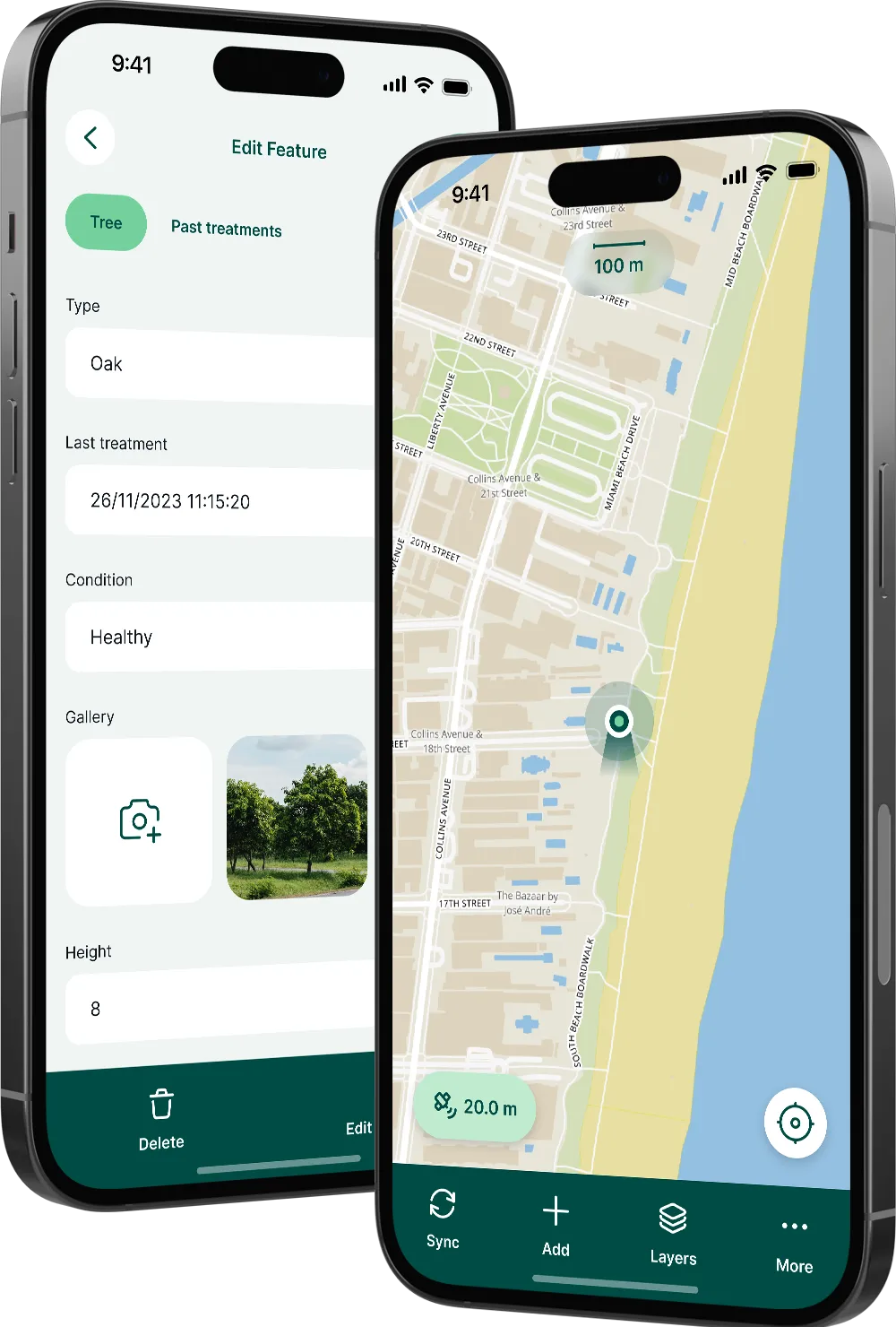
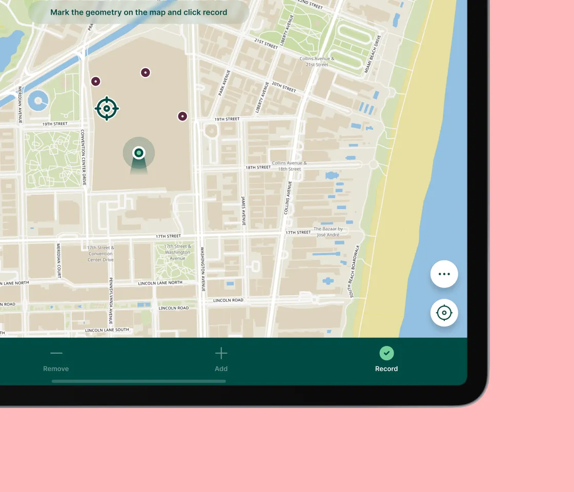
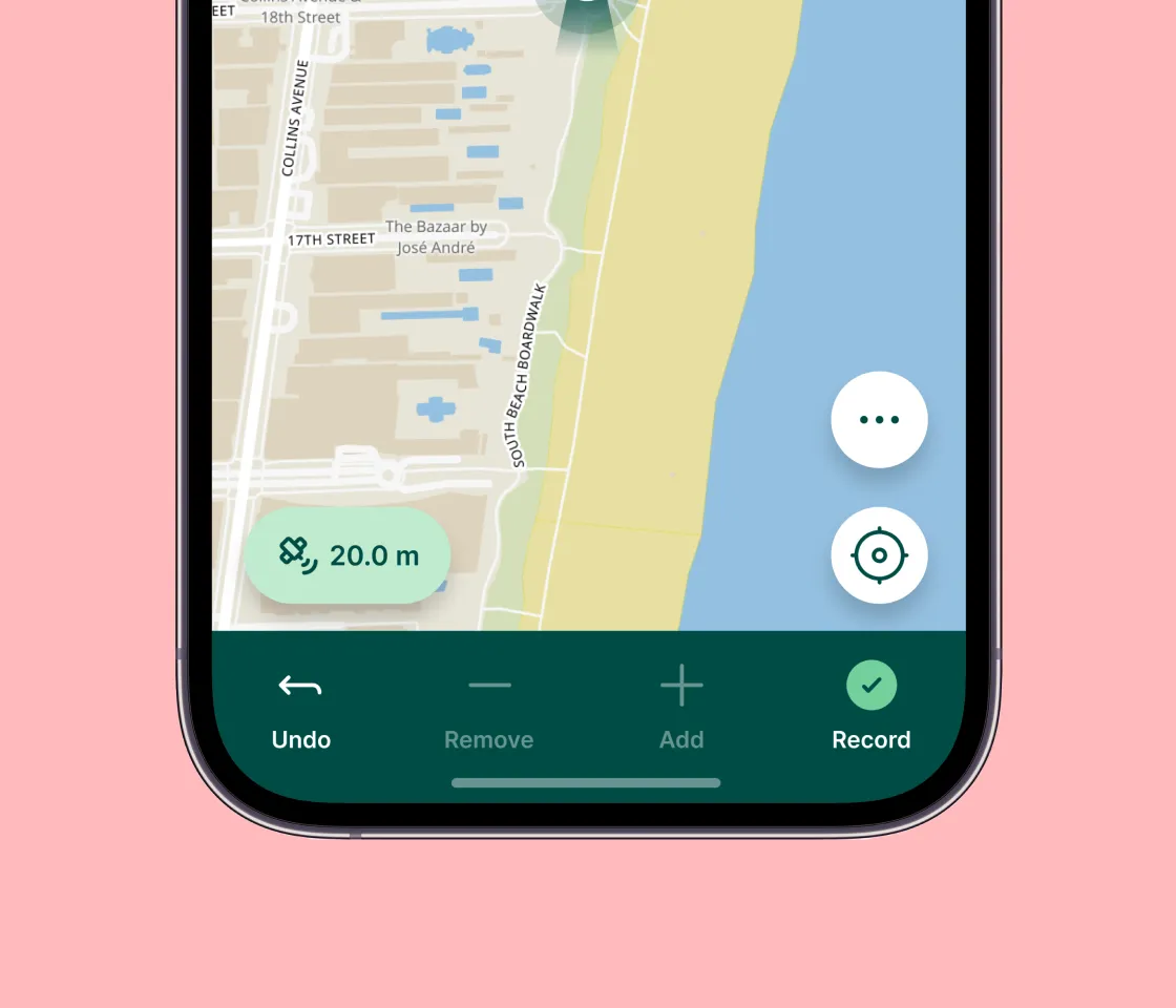
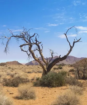
Capture geodata easily with your mobile or tablet
Remove the pain of transcribing paper field notes, georeferencing photos and transcribing GPS coordinates.
This app has made my job so much easier and quicker! We use Mergin Maps for logging soil sample locations and observations in field. It works and is brilliant. So simple to use and has revolutionised field work!
With Mergin Maps on the field, everything becomes easy and very convenient. It turned our GCP collection efficient through an up-to-date approach during the preparation, the general navigation, the point survey and its documentation including photos as well as the final integration.
The software is fantastic and worth every cent ! It's a rare example of being a truly not-annoying piece of software. It does everything I need, pretty much exactly how I want it to do it. I love that you have open-sourced the software too, that gives me a lot of confidence in its survival long-term.
Best field software we've used in a while. Easy to use, easy to maintain, not bulky on the phone, ports with QGIS very well, and has a free user level that is accessible to all!
Cannot recommend the Mergin Maps enough. I am almost purely desk-based and set up the surveys for our field team, but yesterday I got a chance to see how they’d been using it in the field and it was so impressive! Incredibly user friendly and flexible on both ends, and constantly adding new features...
in over 190 countries that effectively collaborate on geospatial data with Mergin Maps software.
By clicking “Accept All Cookies”, you agree to the storing of cookies on your device to enhance site navigation, analyze site usage, and assist in our marketing efforts. View our Cookie Policy for more information. Deny cookies here.


.webp)


%20(1).png)